Overview
The Yoshino River is a river on the island of Shikoku, Japan. It is 194 km long and has a watershed of 3,750 km². It is the second longest river in Shikoku, and is the only river whose watershed spreads over the four prefectures of the island.
Description
The Yoshino River is the second-longest river in Shikoku. It’s 194 km long and has a watershed of 3,750 km2, spreading over the four prefectures of the island. It’s regarded as one of the three greatest rivers of Japan and is nicknamed Shikoku Saburo, Saburo being a popular name for a third son. Its major tributaries include the Ananai, Iya, Dozan, Sadamitsu, and Anabuki rivers.
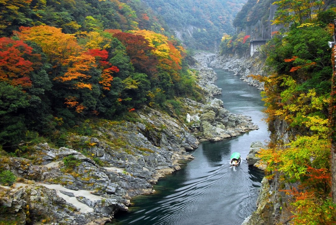
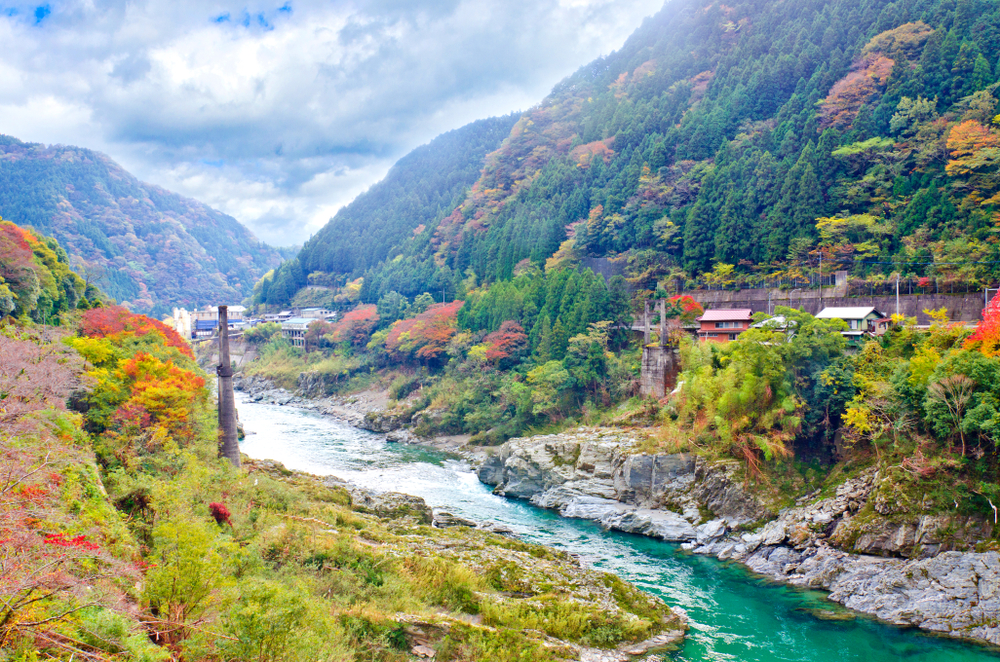
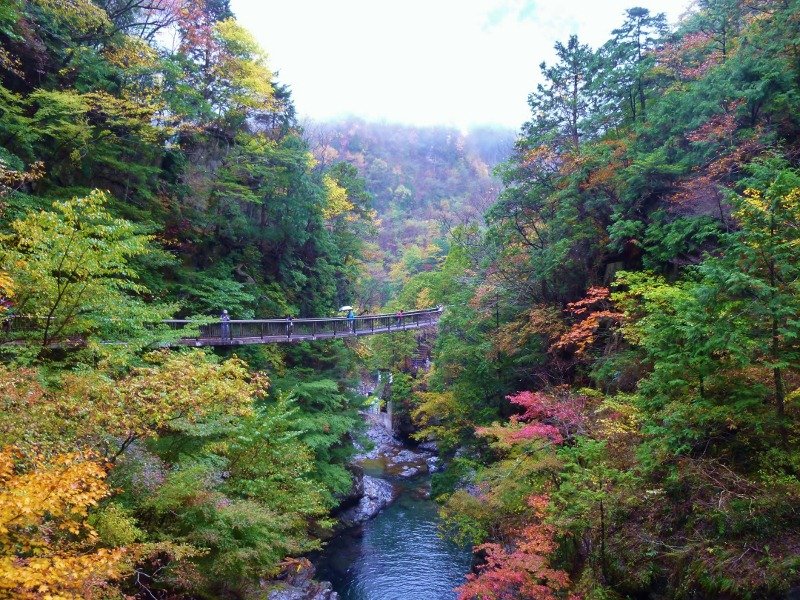
The Yoshino rises from Mt. Kamegamori in Ino, Kochi Prefecture, and flows to the east. The Sameura Dam in Kochi forms a reservoir that somewhat resembles a dragon. In Otoyo the river turns to the north and crosses the Shikoku Mountains. This part of the river is known for its world-class white-water river rafting. The gorge here, named Oboke Koboke, is a famous Tokushima Prefecture tourist attraction. Pleasure boats ply back and forth on this quiet stretch of water. The river has some submersible bridges which lack parapets in order not to be washed away by floods. They’re called ‘sensuikyo’ and they’re similar to the ‘chinkabashi’ bridges of the Shimanto River.