Overview
The Western Way is a long-distance trail in Ireland. It is 179 kilometres long and begins in Oughterard, County Galway and ends in Ballycastle, County Mayo. It is typically completed in seven days.
Description
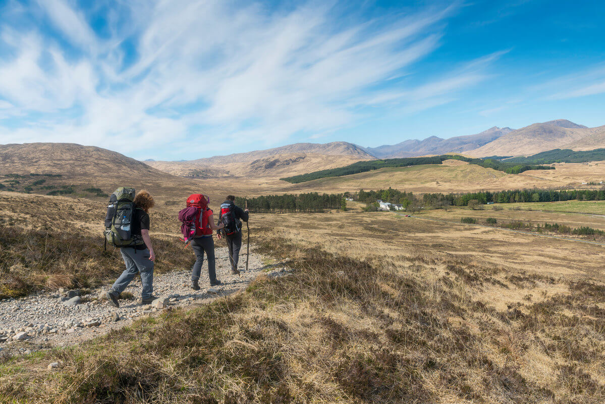
This 55 km linear walking route provides an excellent introduction for walkers to the beautiful and scenic wildernesses of Connemara in County Galway in the west of Ireland. Starting in the famous angler’s town of Oughterard on Lough Corrib, it follows the western edge of the lake, one of the longest, and the second largest lake in Ireland, northwards into a magnificent wilderness of mountain and bog to reach civilisation again at the village of Maam Bridge. It was from here that the Scottish engineer Alexander Nimmo planned the modern roads of Connemara in the early 19th century. From Maam Bridge the route crosses the rugged Maumturk Mountains by a pass, at the top of which is Maum Ean, a holy place that has attracted pilgrims since the early Christian period. Descending again into the beautiful Inagh Valley the route passes between the Twelve Bens and the Maumturks, and through a sad landscape that was, before the Great Famine, well populated by cottiers, to reach the shores of Killary Harbour and the picturesque village of Leenane, one of the locations for the movie The Field. Overnight accommodation is limited along the route, so careful planning is necessary. The terrain consists of quiet roads, bog roads, open moorland, forestry tracks, mountain paths and about 3km of timber bog bridge: some parts of the route can be very wet and boggy, particularly after a rainy period, when there is a fast run-off from the Connemara mountains.