Overview
Volcán Tajumulco is a large stratovolcano in the department of San Marcos in western Guatemala. It is the highest mountain in Central America at 4,202 meters. It is part of the mountain range of the Sierra Madre de Chiapas, which begins in Mexico.

Description
The Tajumulco Volcano is a large stratovolcano that is part of the Sierra Madre de Chiapas, a mountain range that stretches from the Mexican state of Chiapas into Guatemala. The volcano has two summits, one of which has a 165–230 foot (50–70 m) crater, and there have been several unconfirmed reports of eruptions in its past. Tajumulco was declared a protected area in 1956.
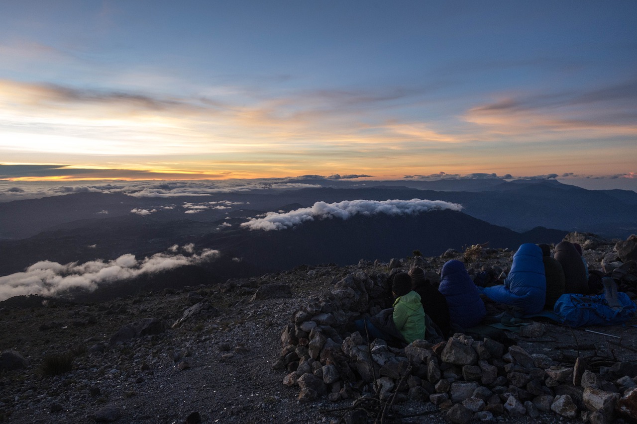
Tajumulco is 42 miles (68 km) northwest of Quetzaltenango. The hike up the volcano takes about five hours and isn’t particularly difficult as long as you’re acclimatized. Altitude sickness can be a problem here, however, and some guides choose to camp near the summit before mounting the final stretch—this allows travelers to get used to the thin air before going any higher. Reaching the summit at sunrise is also popular, as this is one of the most beautiful (and least cloudy) times of day. On a clear day you can see much of Western Guatemala and into Mexico.
The hike up the Tajumulco Volcano offers travelers a high-alpine experience in Guatemala. If you do decide to hike this volcano, be sure to wear appropriate clothing and good shoes. Bring a jacket for the summit, as it can be quite chilly up there.
San Marcos, San Marcos
Guatemala
URL:
http://www.anywhere.com/guatemala/attractions/taiomulco-volcano-volcano