Overview
The Rennsteig is a ridge walk as well as an historical boundary path in the Thuringian Forest, Thuringian Highland and Franconian Forest in Central Germany.

Description
Tradition is a big deal on the Rennsteig Trail. This route even has a song dedicated to it, called the "Rennsteiglied" in German. Even the white "R" used to signpost the trail has its own name: Mareile, after the beautiful daughter of a ranger in the Thuringian Forest.
The Rennsteig even has its own special greeting. When two hikers meet, they don't say "Hello" or "Good morning", they wish each other "Gut Runs!" in German.. You won't find the mysterious word "Runs" in the dictionary. In fact, the only place you'll find it is on this traditional hiking trail.
The Rennsteig trail runs along a ridgeway through the uplands of the Thuringian Forest. The route is 169 kilometres in length; it starts in Hörschel and ends in Blankenstein and is split into six stages. Believe it or not, there are 1,300 boundary stones along the Rennsteig Trail. The Thuringian Forest has always been a borderland, even during the Cold War era. We also discover a border on our "Runs": today it forms the boundary between Thuringia and Bavaria, but it used to mark the end of East Germany and the start of West Germany.
We feel totally secluded in the infinite forests at some points along the Rennsteig Trail, yet we also run into several large hiking groups. Hikers wanting to experience some culture should take a detour to Wartburg Castle, the most famous castle in Germany and a UNESCO World Heritage site. Simply follow the large "R" around the Rennsteig trail and wish others a "Gut Runs"!
The long-distance trail runs for about 170 km from Eisenach and the Werra valley in the northwest to Blankenstein and the Selbitz river in the southeast.
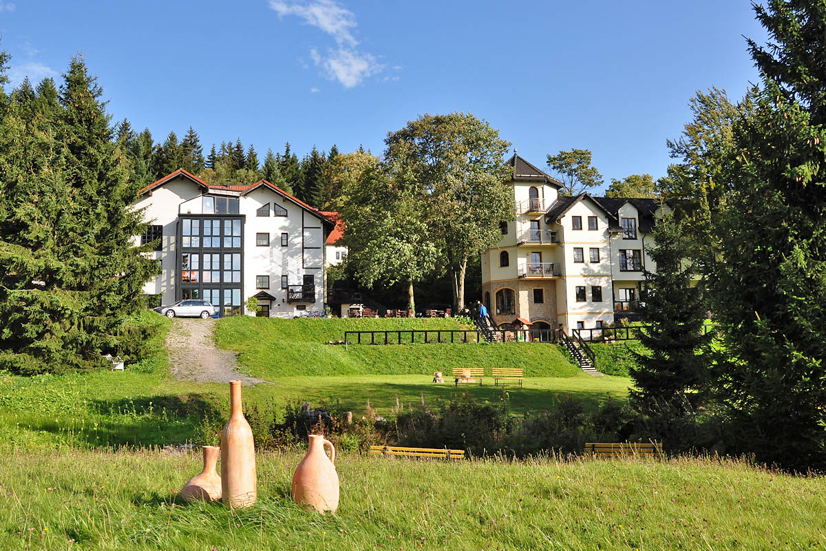
Sonneberg Thuringen
Germany
URL:
http://www.germany.travel/en/leisure-and-recreation/hiking/rennsteig.html