Overview
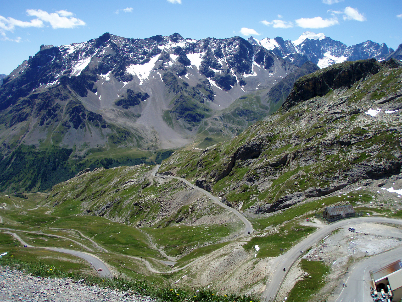
The Pyrenees mountain range separates the Iberian Peninsula from the rest of Europe, stretching more than 430km between Spain and France and rising higher than 3,400m in elevation.
Description
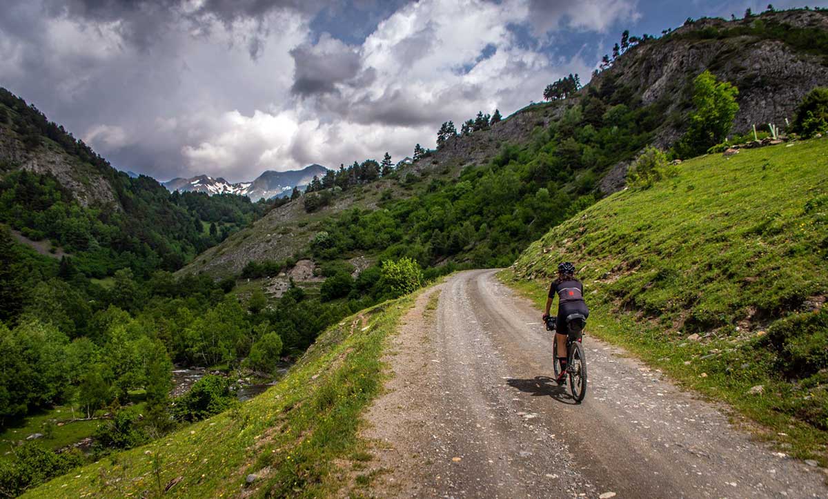
Hiking trails traverse the entire length of the range and national parks offer shorter trails, while dozens of ski resorts can be found on both sides of the Pyrenees. Andorra is a tiny sovereign state in the heart of the chain.
Pyrenees, Spanish Pirineos, French Pyrénées, Catalan Pireneus, mountain chain of southwestern Europe that consists of flat-topped massifs and folded linear ranges. It stretches from the shores of the Mediterranean Sea on the east to the Bay of Biscay on the Atlantic Ocean on the west. The Pyrenees form a high wall between France and Spain that has played a significant role in the history of both countries and of Europe as a whole. The range is some 270 miles (430 kilometres) long; it is barely six miles wide at its eastern end, but at its centre it reaches some 80 miles in width. At its western end it blends imperceptibly into the Cantabrian Mountains along the northern coast of the Iberian Peninsula. Except in a few places, where Spanish territory juts northward or French southward, the crest of the chain marks the boundary between the two countries, though the tiny autonomous principality of Andorra lies among its peaks. The highest point is Aneto Peak, at 11,169 feet (3,404 metres), in the Maladeta (Spanish: “Accursed”) massif of the Central Pyrenees.