Overview
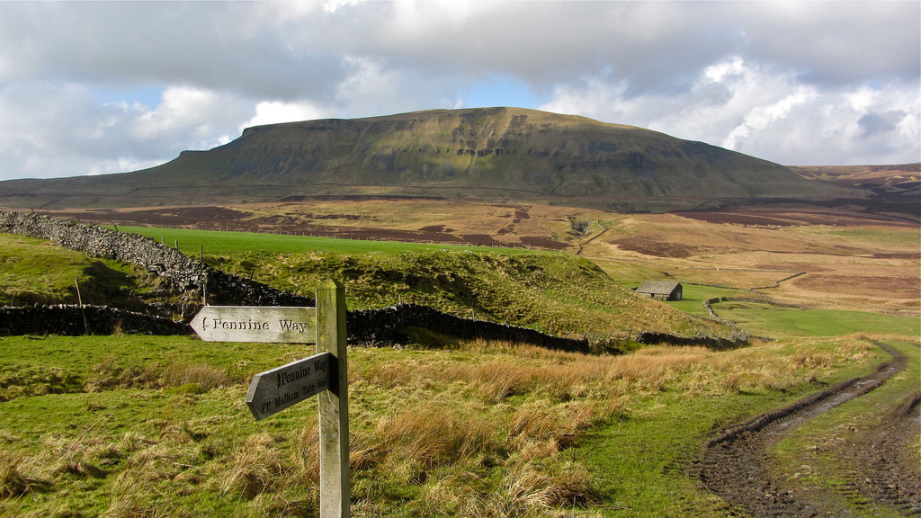
The Pennine Way is a National Trail in England, with a small section in Scotland. The trail stretches for 268 miles from Edale, in the northern Derbyshire Peak District, north through the Yorkshire Dales and Northumberland National Park ends at Kirk.
Description
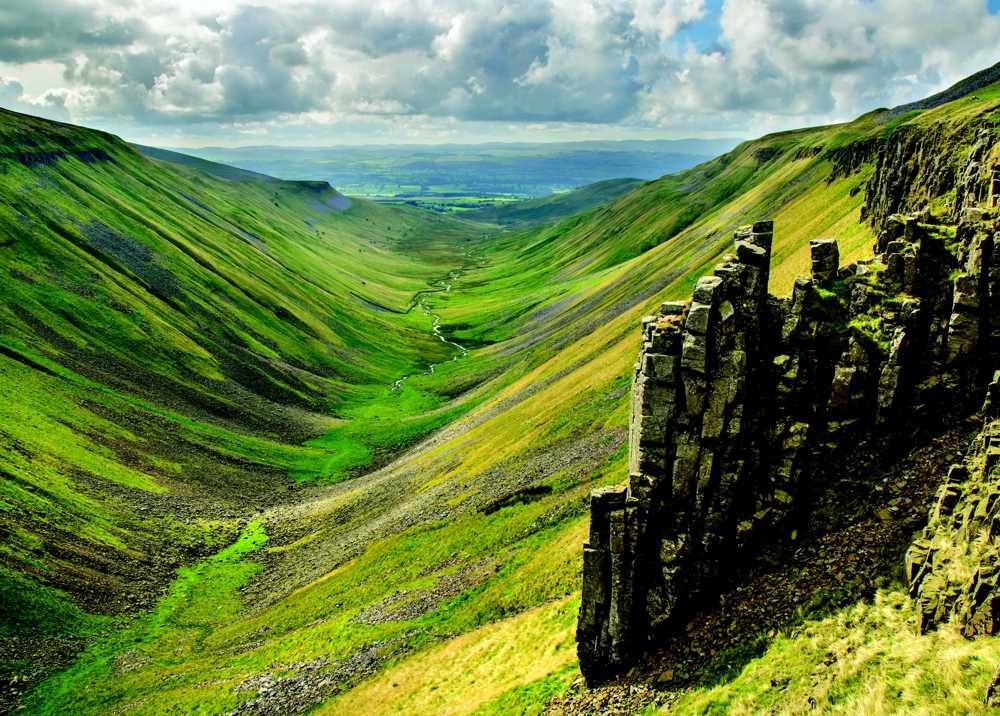
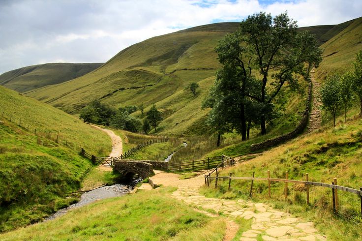
The Pennine Way is a walking trail running for 429km (270 miles) along the central mountains of England: the Pennines and the Cheviots. It starts at Edale in the Peak District and ends at Kirk Yetholm in the Borders, just inside Scotland.
The highest point reached by the standard route is 893m at the summit of Cross Fell. The terrain passed through is a mix of upland moors, mountains and low-lying farmland.
Trekkers completing the whole Pennine Way take typically three weeks. The route also lends itself to shorter trips.
York, England
United Kingdom
URL:
http://www.alpineexploratory.com/walking-guides/pennine-way.html