Overview
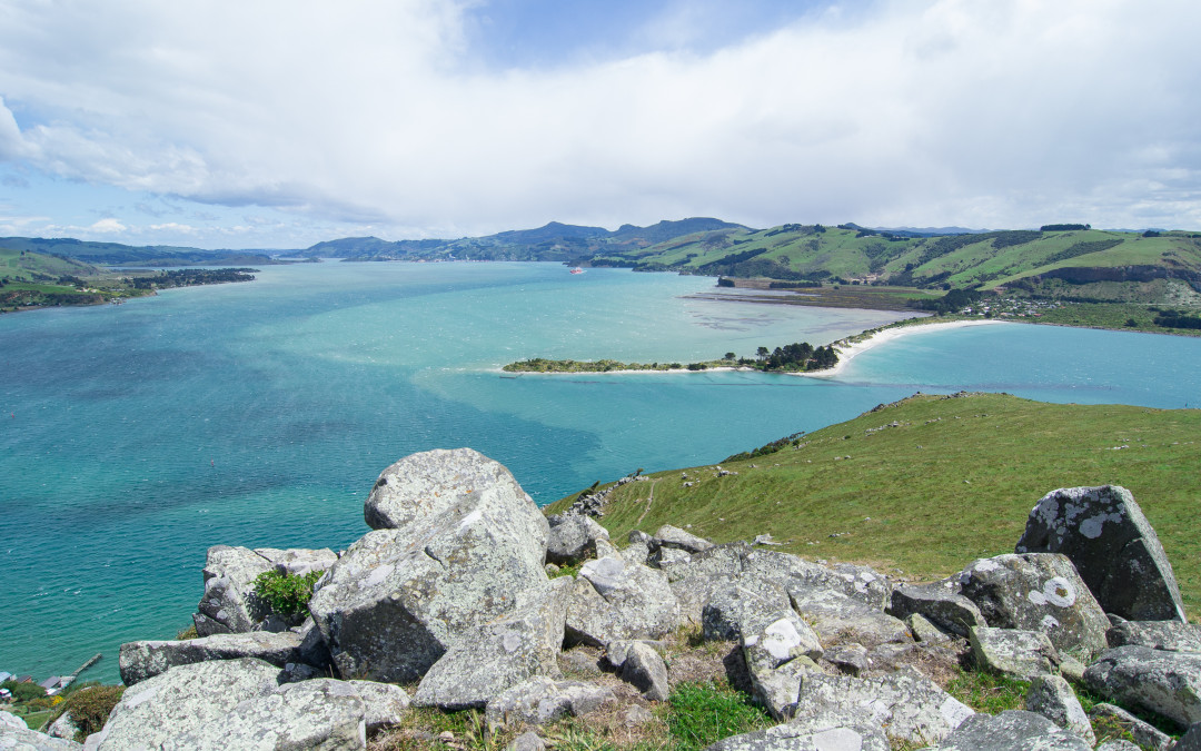
Otago Harbour is the natural harbour of Dunedin, New Zealand, consisting of a long, much-indented stretch of generally navigable water separating the Otago Peninsula from the mainland. They join at its southwest end, 21 km from the harbour mouth.
.jpg)
Description
Flanking the southern edge of Dunedin's extensive harbour, Otago Peninsula is high and rugged on the ocean side; warm and sheltered on the harbour side. Volcanic in origin, the peninsula is part of the crater wall of a large, long-extinct volcano.
As a scenic drive, Otago Peninsula is spectacular. Beginning at Vauxhall, you can follow the coastal road past small settlements and beaches to Taiaroa Head, where there's an albatross colony. Other attractions near Taiaroa Head include the fur seals at Pilots Beach and sea lions on Te Rauone Beach.
The southern side of Otago Peninsula is high and rugged. Walking tracks lead to cliff lookouts, beaches, penguin nesting areas and seal colonies. At Victory Beach there's a Egyptian-looking rock formation known locally as "The Pyramids"; at Allans Beach you might see yellow-eyed penguins, fur seals and sea lions.
From Portobello you can return to Dunedin via Highcliff Road, which winds along the ridge of the peninsula. Take a detour down Sandy Mount Road to find The Chasm and Lovers Leap; you can also walk to see three historic lime kilns that were in use from the 1860s until 1938. Sealpoint Road, another detour, leads to Seal Point and the track to Sandfly Bay (named for sand flying off the giant dunes rather than biting insects). Larnach Castle is also accessed from Highcliff Road.