Overview
The Hadrian's Wall Path is a long-distance footpath in the north of England, which became the 15th National Trail in 2003. It runs for 84 miles, from Wallsend on the east coast of England to Bowness-on-Solway on the west coast.
Description
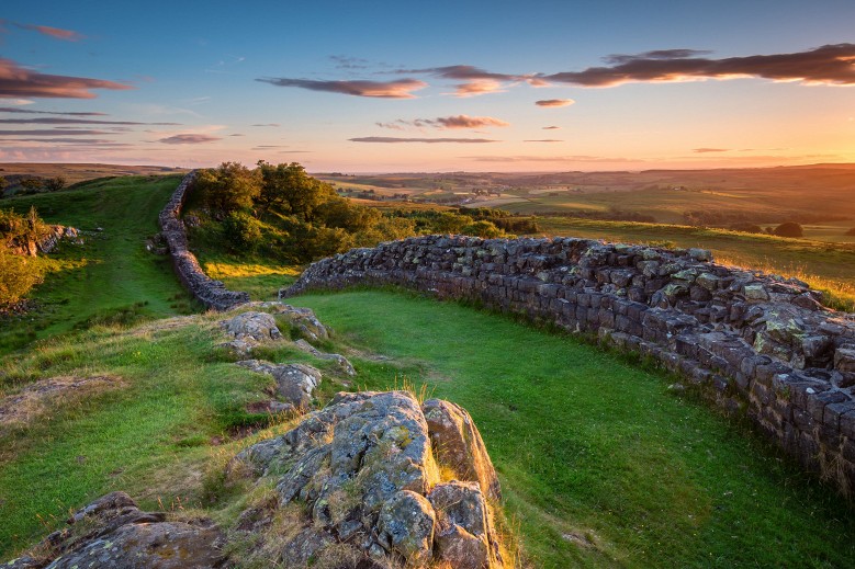
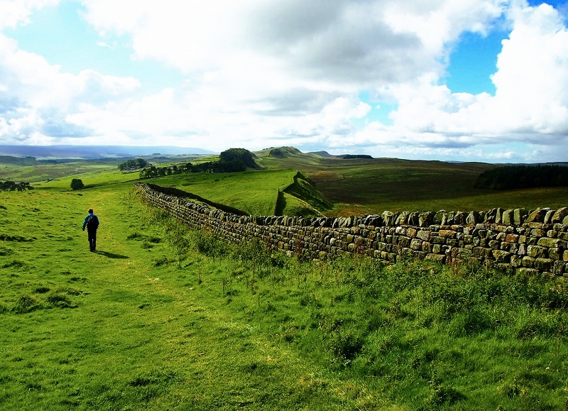
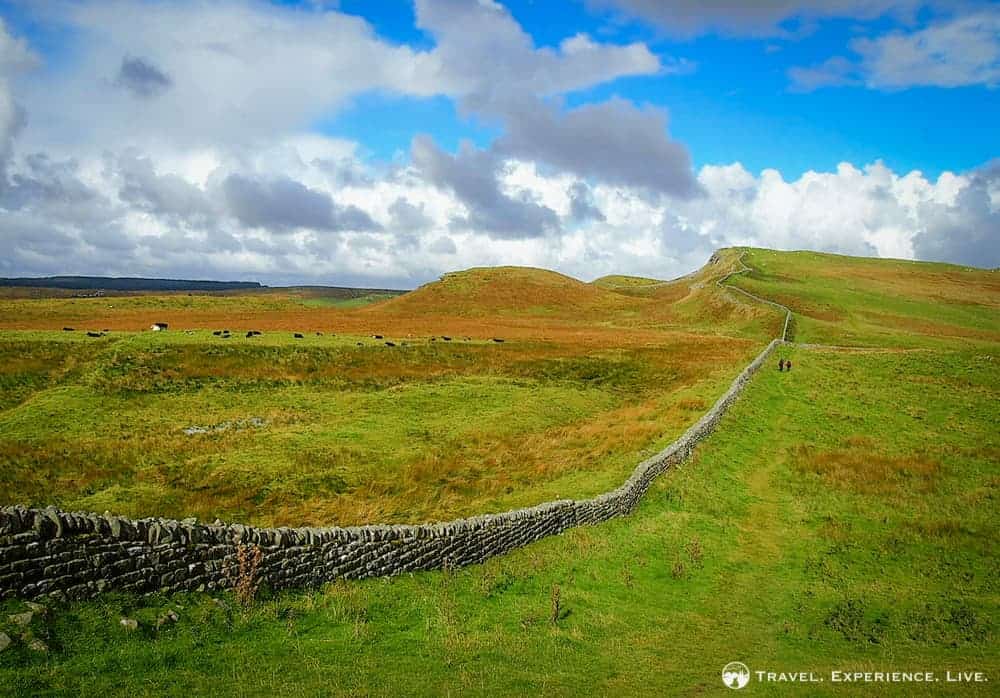
The rain has finally let up, though storm clouds still straddle the rolling green nothingness to the north. In front, sheer stone brickwork drops to a lone sycamore tree, then rises again up another slope. Slowly, you pick your way down, and back up, down and back up again. Miles pass, a bird swoops through your vision, another shower drenches you then moves off, and suddenly the lines of a giant Roman fort spread out to your right.
No, you haven't traveled back in time – this is a typical day on the coast-to-coast walk across England following Hadrian’s Wall. Built by some 15,000 Roman soldiers following the eponymous emperor’s visit to Britain in 122 AD, Hadrian’s Wall served as the northern frontier of the Roman empire for 300 years, separating colonized territories from the land still controlled by the Picts. The original wall was 80 Roman miles (73 modern miles) long, with 80 matching milecastles (small forts) and half-a-dozen giant forts that served as armed cities, which the legions continued to defend for four centuries.
Coria, England
United Kingdom
URL:
http://www.lonelyplanet.com/articles/walking-hadrians-wall-a-coast-to-coast-hike-across-england