Overview
Mount Hotham is a mountain in the Victorian Alps of the Great Dividing Range, located in the Australian state of Victoria. The mountain is located approximately 357 kilometers northeast of Melbourne, 746 kilometers from Sydney.


Description
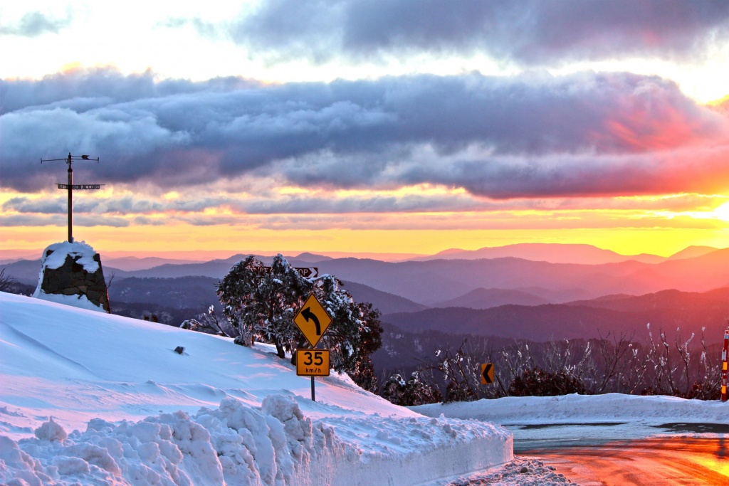
Mount Hotham alpine ski resort is 210 km north-east of Melbourne. It lies on a ridge between the Dargo High Plains (part of the upper reaches of some Gippsland watersheds) and the Bogong High Plains (part of the north-east watersheds which flow to the Murray River). The road journey to Mount Hotham is usually done by the Hume and Ovens Highways, via Wangaratta, and then by the Alpine Highway from Bright.
Mount Hotham (1861m) was named by the Government botanist, Ferdinand von Mueller, after the Governor of Victoria, Sir Charles Hotham, in 1854.
The first European road or track to Mount Hotham was surveyed not from the direction of Melbourne but from Gippsland. In 1851 gold was discovered at Omeo, and during the next few years, gold was discovered in the Ovens Valley. In 1860 gold was also discovered at Crooked River, south of Mount Hotham. The getting of supplies to the alpine mining settlements was in many instances done from Omeo by tracks that followed ridgelines. The tracks to Harrietville (Ovens Valley) and to Crooked River intersected at Mount St Bernard, about 8 km south-east of Mount Hotham. The accommodation was provided at the St Bernard hospice (1863-1939). A coach service from Omeo began in 1884.
After the decline of mining and the opening of the Ovens Valley railway to Bright (1890), the coach road deteriorated. It was not until the 1920s that ski clubs from Wangaratta, Bright, etc moved beyond the (then) leading ski resort, Mount Buffalo to the Mount Hotham area. The Country Roads Board upgraded the road and built a patrol hut and accommodation in a saddle east of Mount Hotham, known as Hotham Heights. The building was transferred to the Victorian Railways, which used it as an adjunct to its Mount Buffalo chalet until burnt down in 1939. It was replaced with the Hotham Heights Chalet within six months.
The Chalet remained the main accommodation place until the early 1970s when the building of numerous lodges and commercial accommodation places began. They are strung out along 2 km of the Alpine Highway, somewhat exposed to severe weather because of the road's ridge-top alignment. Ski runs are down from the living area, not up as is usual with most other resorts. By 1985 there were about 3300 beds. (The other main resorts, Mount Buller and Falls Creek had 5700 and 3600 beds.) Mount Hotham gained Arlberg in 1984, at that time Victoria's largest accommodation complex.
Mount Hotham is recognized as being the 'sleeping giant' of Victorian ski resorts with frequent powder snow and very extensive downhill and ski touring country. Club lodges are at the eastern end of the resort and most commercial accommodation and apartments are at the western end. Some apartments have unparalleled alpine views, taking in Mounts Feathertop and Fainter to the north.
In June 1999, an airport was opened at Horsehair Plain, 20 km east of Mount Hotham. It stimulated a surge in property values on Mount Hotham, even before opening.
A neighboring resort, Dinner Plain, is 8 km south-east of Mount Hotham. It is on freehold land whereas Mount Hotham is Crown leasehold.
During summer many hikers walk the high plains from Mount Hotham where cars can be parked.
The road between Harrietville and Mount Hotham (Great Alpine Road) underwent substantial repair in 2013 following bushfire and land slippage caused by heavy rain. Bushfires in 2007 had destroyed the Westons Hut (1932, rebuilt 1939) near Mount Hotham.